
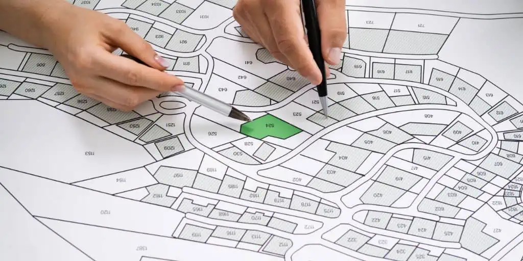
What Is a Planning and Zoning Department?
REtipster does not provide legal advice. The information in this article can be impacted by many unique variables. Always consult with a qualified legal professional before taking action.


Shortcuts
- A planning and zoning department is a local government agency that regulates land use and development in a municipality or county.
- The agency combines the duties and responsibilities of separate planning and zoning departments.
- Contrary to popular belief, land use and zoning are different terms; land use is how land is adapted for human consumption, while zoning is regulatory control on the kind of development allowed for a particular area.
- City planners designate planned developments in four categories: functional, form-based, intensity, and incentive.
What Does a Planning and Zoning Department Do?
A zoning/planning department is a local government authority that develops and implements land use regulations in its area of jurisdiction, such as a municipality or a county[1].
Most U.S. municipalities and cities have developed a comprehensive plan for land use. This plan considers future community growth and, in many cases, creates an official land use map. The map outlines zoning and building regulations, street plans, public facilities, and subdivision developments[2].
Land Use vs. Zoning
Land use (also called land planning) and zoning are similar terms with related concepts, often used interchangeably in non-technical capacities. However, they have several important differences in regulatory compliance and using property for a particular purpose.
In broad terms, land use or land planning refers to how people adapt a piece of land for human consumption and maximize the use of a particular property. An investor developing land for residential or commercial use is an example of land use.
RELATED: 50 Surprisingly Creative Uses for Vacant Land
On the other hand, zoning is how the government regulates a piece of land by limiting or designating which land use is permissible. Zoning also regulates building design and construction, the size, height, and placement of structures allowed on that land, and the use of outdoor spaces. Zoning may also provide for development review and safety standards.

Some jurisdictions have separate zoning and planning departments, and others have a combined zoning and planning department for land use and zoning regulations.
Property owners or developers hindered by a zoning code can seek remedies from a city or county’s zoning/planning department. Depending on how they want to use the property, they can negotiate zoning variances, amendments, or rezoning[3]. However, the planning and zoning department can approve or deny the request.
Common Land Use Categories
Depending on the department or local requirements, a land use planner or government agency designates areas under their jurisdiction into one of the four land use categories.
These main categories, each with its rules and regulations, are as follows[4]:
Functional
This category is the most dominant among the four and is further divided into how certain property functions or the activities allowed by law inside these areas.
There are seven different types of land use for a functional land use category:

- Residential
- Commercial
- Industrial
- Agricultural
- Recreational
- Transportation
- Public Use
Form-Based
The physical characteristics of an area define this type of zoning. It usually springs from an urban identity perspective, such as a downtown district.
An area of a city designated as a “historic district” is also an example of form-based land use. These are areas with homes and buildings older than 50 years.
Intensity
Intensity land use is based on housing density, from low-density residential to high-density residential. An area with an intensity land use limits developers to a maximum housing unit per surface area of the designated area.

Incentive
Towns or cities can adopt this land use category to revitalize certain areas, such as a neighborhood revitalization project or urban facelift. It encourages builders and developers to undertake development projects or infrastructure investments in these areas by offering them perks like tax breaks.
The Standard City Planning Enabling Act (SCPEA)
In 1928, the federal government adopted a zoning model, the Standard City Planning Enabling Act (SCPEA). This law became the basis and framework for local governments’ zoning/planning departments and remains so to this day.
The SCPEA contains six provisions[5]:
- The establishment of a regional planning commission and a regional plan.
- The power of the planning commission to prepare and adopt a “master plan.”
- The outline for the master plan for the physical development of the territory.
- The governing agency’s adoption of a master street plan.
- Planning commission approval of all public improvements.
- Control of private subdivisions of land.

Regulatory Compliance
Generally, planning and zoning departments adhere to SCPEA requirements, with a few special considerations for local needs and specifications.
Zoning controls on a property almost entirely depend on the authorities where it is located, as there is no federal zoning agency. The zoning control rests at the county or city level, specifically at the zoning, planning, or land office.
These agencies handle issues that property owners may have about zoning, such as appeals on reclassification. Tackling these zoning concerns varies depending on the property’s location. Therefore, property owners who want to develop a particular parcel of land for human occupancy may need the services of a local real estate attorney[6].
Sources
- The World Bank. (n.d.) Zoning and Land Use Planning. Retrieved from https://urban-regeneration.worldbank.org/node/39#
- Think Architecture. (2020.) An Introduction to Land Use and Planning. Retrieved from https://www.thinkaec.com/an-introduction-to-zoning-and-land-use-planning/
- Legal Match. (n.d.) Ultimate Guide to Zoning and Land Use Laws. Retrieved from https://www.legalmatch.com/law-library/article/ultimate-guide-to-zoning-and-land-use-laws.html
- Millman National Land Services. (n.d.) What Are the Different Types of Zoning? Retrieved from https://millmanland.com/knowledge/what-are-the-different-types-of-land-zoning
- American Planning Association. (n.d.) Standard State Zoning Enabling Act and Standard City Planning Enabling Act. Retrieved from https://www.planning.org/growingsmart/enablingacts
- Kenton, W. (2022.) What Is Zoning? Investopedia. Retrieved https://www.investopedia.com/terms/z/zoning.asp
